Grand Rapids area tree fruit update – Aug. 3, 2022
Tree fruit is continuing to put on size.

Weather and phenology update
Conditions in the Grand Rapids, Michigan, area this week were milder, although they continued to be very warm and dry. Temperatures over the past week were in the mid to upper 70’s (F) most days with overnight lows in the mid to upper 50s. As of Aug. 1, the Michigan State University Sparta Enviroweather station has accumulated 2433.0 degree days base 42 F (DD42). This is slightly above average, which is 2301.8 DD42, and approximately 5 days ahead of normal.
The area has been very dry. Most weather stations have recorded <0.1 inch since the significant rainfall received two weekends ago (July 23-24). Presently, nearly all of the Grand Rapids area is abnormally dry (D0) and some parts of Eastern MI are under moderate drought conditions (D1), according to the U.S. Drought Monitor, despite the rainfall two weekends ago.
Expect very hot weather this week, with temperatures moving into the upper 80s and overnight lows in the 60’s. Weather will be drier than normal. Scattered thunderstorms are likely on Wednesday, with the possibility of up to 0.5 inch of accumulation. Another chance of thunderstorms is predicted Sunday morning, with low accumulation likely. More rain showers are likely early next week. Overall, warmer and drier than normal conditions are projected to persist in the long-term forecast, through August and September.

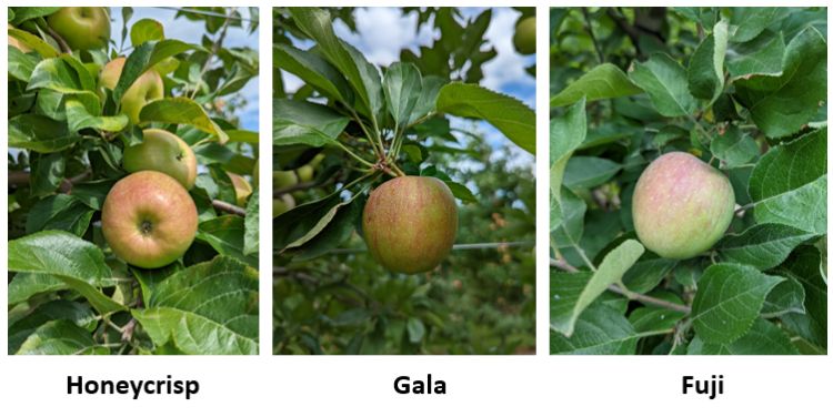
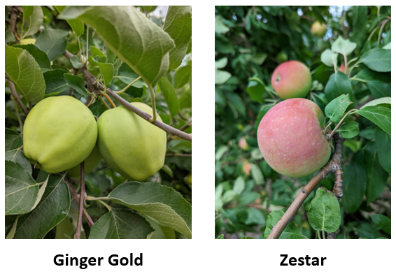
Tree fruit is continuing to put on size. Apples are sizing well and beginning to put on color. Hand thinning and summer pruning continue in most places. Some very minor sunburn and early lenticel damage has been observed. Peaches are being picked, with the first Red Haven beginning by the end of the week. Predicted harvest dates can be found on the Enviroweather model and are near normal or slightly ahead.
| Degree day accumulation at Enviroweather stations in the Grand Rapids area | |||
| Weather Station | Degree Days Base 32 from Jan. 1 | Degree Days Base 42 from Jan. 1 | Degree Days Base 50 from Jan. 1 |
| Aetna - Fremont | 3637.6 | 2376.7 | 1552.8 |
| Alpine | 3799 | 2498.8 | 1650.6 |
| Belding | 3737.4 | 2454.8 | 1623.1 |
| Clarksville (CRC) | 3803.2 | 2497.4 | 1655.8 |
| Conklin | 3799.8 | 2503 | 1651.5 |
| Fremont | 3693.9 | 2420.5 | 1595.4 |
| Grant | 3680 | 2399 | 1571.8 |
| Kent City | 3713.5 | 2436.7 | 1605.7 |
| Reeman-Fremont | 3701.1 | 2421.6 | 1590.6 |
| Sparta | 3718.7 | 2433 | 1597.1 |
| Sparta 20m Tower | 3726.8 | 2435 | 1595 |
| Sparta - North | 3746.7 | 2456.5 | 1613.8 |
| Standale | 3857.5 | 2535.7 | 1682.8 |
| Average DD from Sparta historical data for Jan. 1 to date | 3631.8 | 2301.8 | 1471.3 |
| Comparative Date of Averages @ Sparta | 3-Aug | 6-Aug | 8-Aug |
| Days +/- Average @ Sparta | + 2 days | + 5 days | + 7 days |
For these updates, we used averages for 1997-2021 from the Michigan Automated Weather Network (MAWN) to represent normal conditions. Weather data was gathered from MSU Enviroweather.
More information and reports on normal weather conditions and departures from normal can be found on the NOAA Climate Prediction Center website, NOAA U.S. Climate Normals website, NOAA Climate Normals Quick Access Page (which may be searched by region) and Midwest Regional Climate Center website.


 Print
Print Email
Email


