CREP Prioritization: Mapping Sediment Loading Risk in the Western Lake Erie Basin
DOWNLOADJune 3, 2021
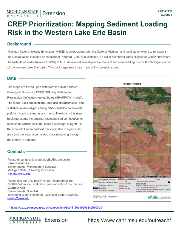
Michigan State University Extension (MSUE) is collaborating with the State of Michigan and local stakeholders to re-establish the Conservation Reserve Enhancement Program (CREP) in Michigan. To aid in prioritizing lands eligible for CREP enrollment, the Institute of Water Research (IWR) at MSU developed township-scale maps of sediment loading risk for the Michigan portion of the Western Lake Erie basin. This book organizes those maps at the township scale.
You Might Also Be Interested In
-
Low Cost Sensors to Improve Irrigation Management
Published on February 18, 2021
-
Irrigation Webinar Series - Session 5, September 1
Published on September 1, 2021
-
Irrigation Management to Improve Yield and Water Use Efficiency While Minimizing Foliar Disease
Published on February 19, 2021
-
Combat Nutrient Loss with Controlled Drainage
Published on February 18, 2021
-
Is Your Irrigation System Ready to Apply Chemicals, Chemigation and Fertilization
Published on February 18, 2021
-
Irrigation Webinar Series - Session3, August 4
Published on August 6, 2021
Accessibility Questions:
For questions about accessibility and/or if you need additional accommodations for a specific document, please send an email to ANR Communications & Marketing at anrcommunications@anr.msu.edu.