Return to FCCP ORL Page
Forest Carbon Science, Policy, and Management
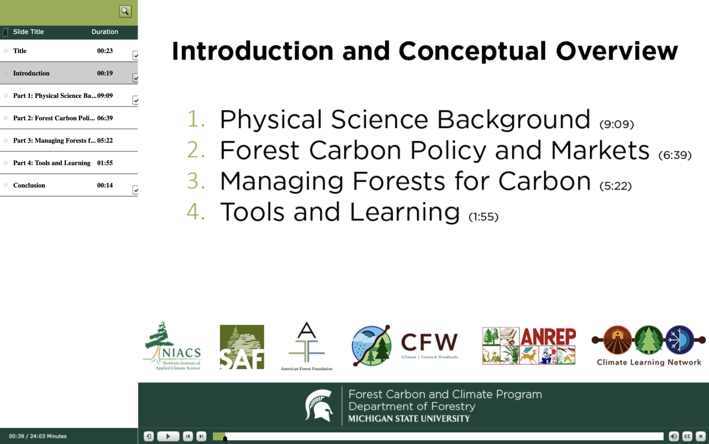
This self-guided lesson gives a brief introduction to carbon science, forest carbon policy, carbon markets, and forest carbon management. This interactive learning experience was developed by the Michigan State University Department of Forestry, the U.S. Forest Service, and the Northern Institute of Applied Climate Science (NIACS).
Throughout the module, there are additional resources, tools, and learning opportunities which can be explored for more information on forest carbon decision-making. You will learn about climate change in relation to forests, how carbon is stored in forests, how policies incentivize carbon storage, and how management practices can impact carbon storage.

The expected time commitment for this module is about 25 minutes, additional time is recommended for exploring outward links and interactive features. This module is a standalone component of a larger professional development program.
Click here to begin the module
USFS Forest Carbon Tool Exercises
FCCP Carbon Activities
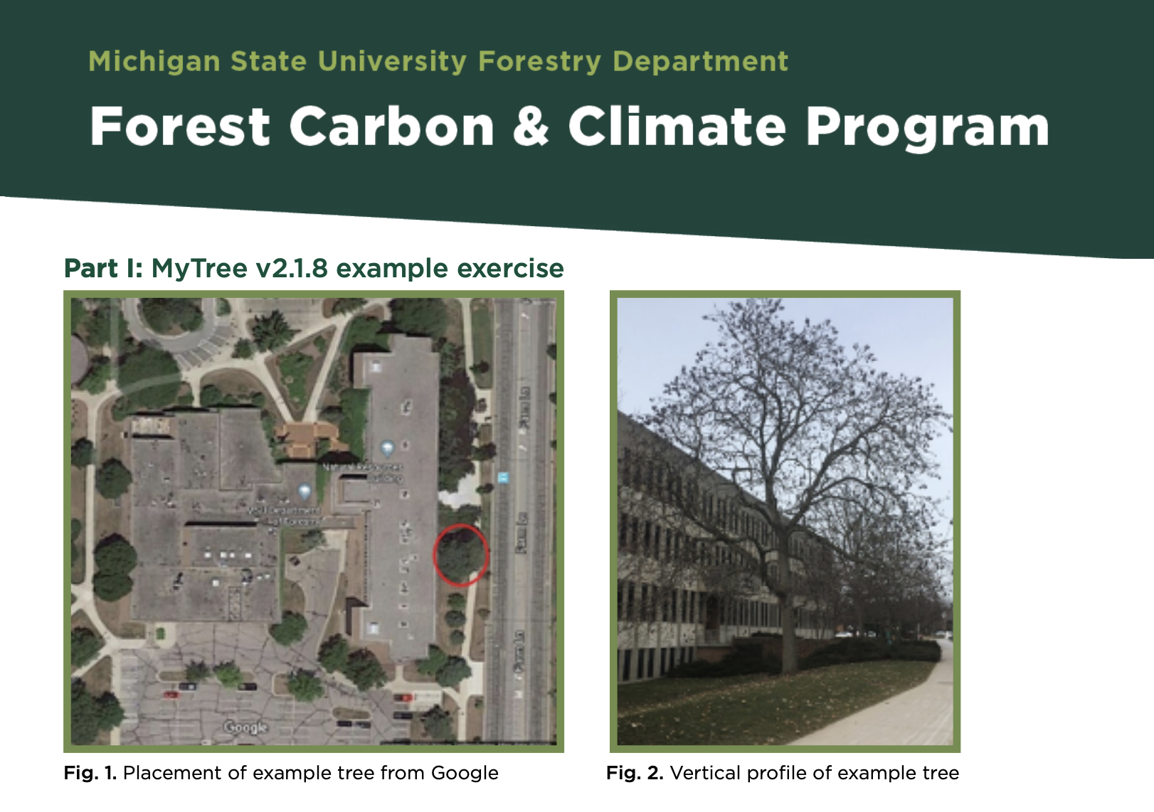
i-Tree MyTree Activity
A variety of tools exists to understand the carbon benefits of trees from the individual tree level to the regional/continental level. One suite of tools that allows users of all levels to learn about the carbon benefits of trees is the U.S. Forest Services’ i-Tree platform. The i-Tree MyTree Activity allows users to utilize the i-Tree MyTree tool which is a web-based software that allows for the quantification of individual tree benefits in urban landscapes
Instructions and information to complete this activity can be found here.

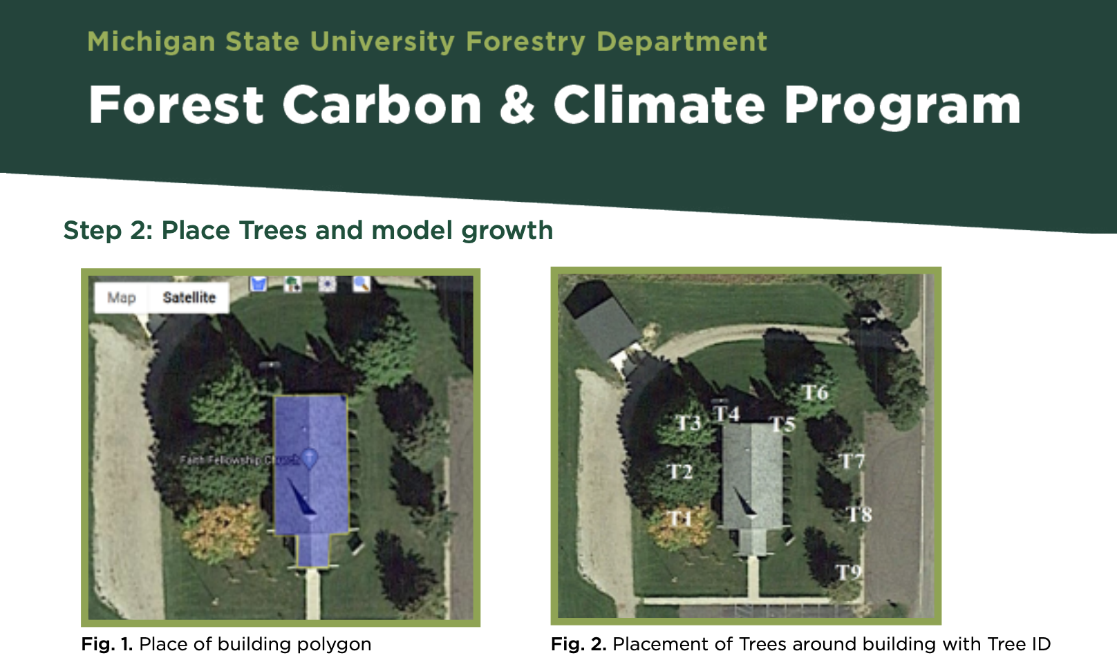
i-Tree Design Activity
Modeling trees at the plot level in urban areas provides unique opportunities to understand carbon benefits of urban trees. Estimating the monetary benefits of trees in urban setting can be useful to a variety of people and a diversity of applications. The i-Tree Design Activity allows users to model the benefits of multiple trees surrounding a building at the same time.
Instructions and information to complete this activity can be found here.

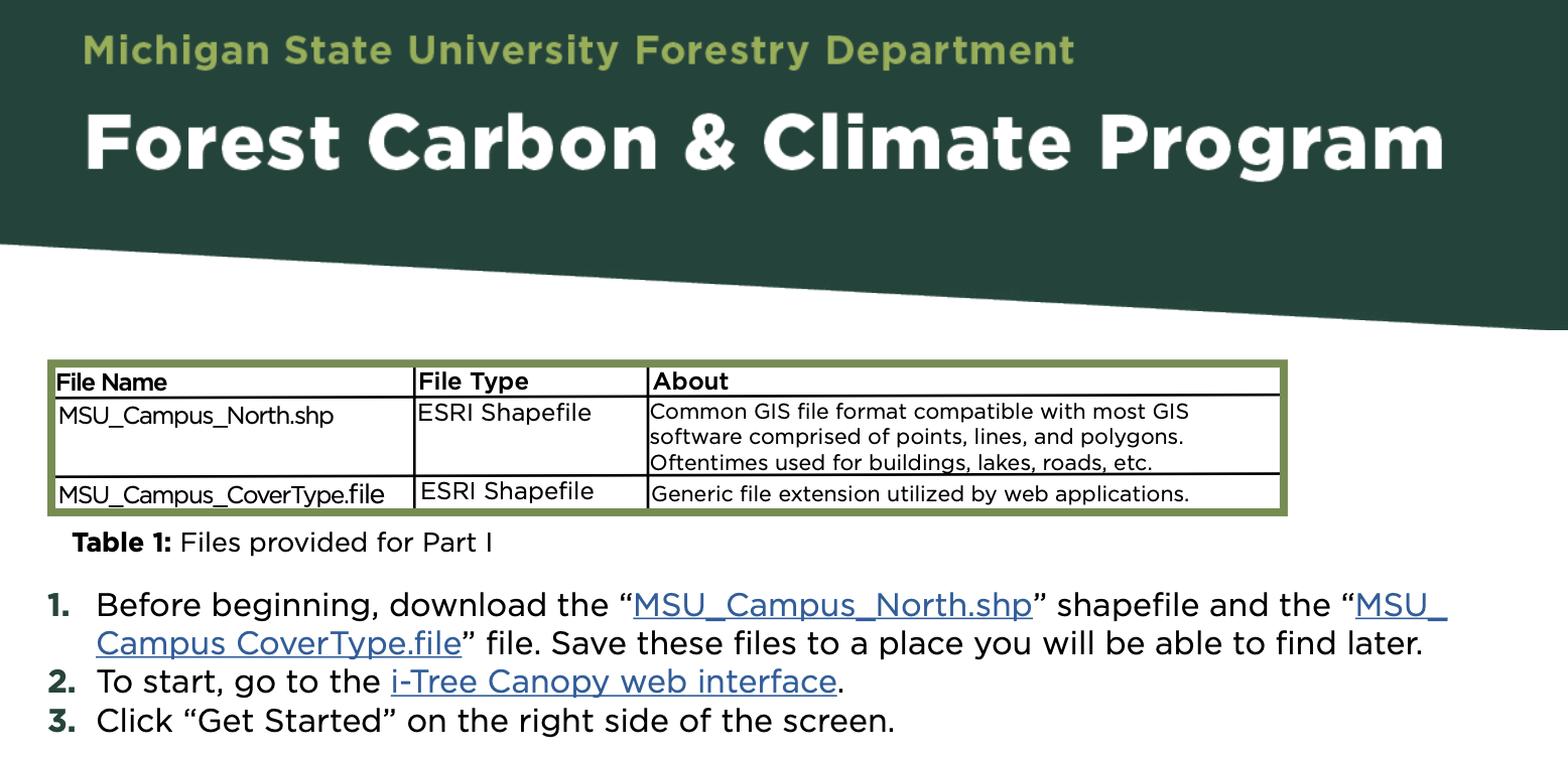
i-Tree Canopy Activity
Estimating the benefits of trees using field measurments can be quite expensive and time consuming. However, utilizing satellite imagery allows for us to quanitfy benefits of entire forests and canopies across a larger region quickly and efficiently. The i-Tree Canopy Activity allows user to use satellite imagery to identify. label, and characterize sample point to estimate benefits of urban tree canopies across a region of interest.
Instructions and information to complete this activity can be found here. Click here to download the files needed to complete this activity.


 Print
Print Email
Email